A groundbreaking study conducted by QUT researchers has developed a pioneering ecosystem mapping workflow that combines drones, advanced imaging techniques, and machine learning to map and monitor vegetation in Antarctica's protected regions with unprecedented accuracy.
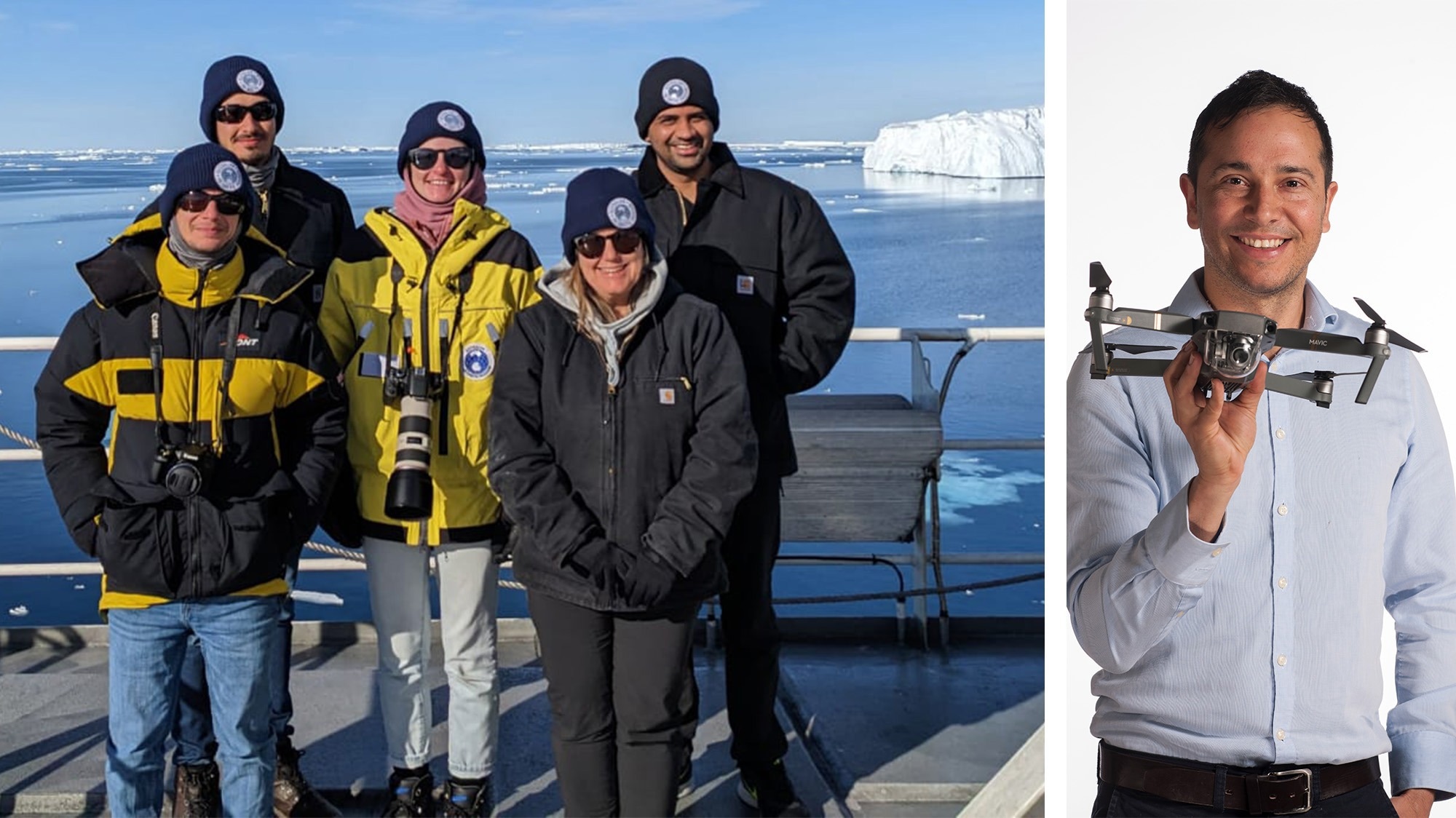
 Dr Johan Bathelemy, Dr Juan Sandino, Dr Krystal Randall, Prof Barbara Bollard and Ashray Doshi. Far right: Prof Felipe Gonzalez. Image Credit: QUT
Dr Juan Sandino, a research fellow from the QUT Centre for Robotics said Antarctica was home to a unique and diverse ecosystem that was sensitive to climate change, extreme events, and human activities.
“Vegetation - such as mosses and lichens - plays a vital role in maintaining the ecological balance, insulating ice-free soils, promoting biogeochemical cycling, and providing habitat for much of Antarctica’s land-based biodiversity,” Dr Sandino said.
“However, mapping and monitoring vegetation in Antarctica presents challenges due to its remoteness, harsh environment, limited accessibility, and a changing climate.
“Traditional methods of field surveys prove to be time-consuming, costly, and risky, potentially causing disturbance to the fragile vegetation.
“And while satellite imagery is widely available, it has limitations in spatial and spectral resolution, cloud cover, and temporal frequency.”
Dr Sandino and Professor Felipe Gonzalez, also from the QUT Centre for Robotics, teamed up with University of Wollongong researchers Prof Barbara Bollard, Dr Johan Barthelemy, Dr Krystal Randall and unmanned aerial vehicle (UAV) specialist Ashray Doshi, with an aim to expand research horizons using cutting-edge analysis.
The six-year $1.8m project is co-led by Professor Gonzalez and Professor Barbara Bollard. The project is part of Securing Antarctica’s Environmental Future (SAEF), a $36 million research program funded by the Australian Research Council.
The research and its findings are one of the first outcomes of SAEF’s 2022-23 field season in Antarctica.
Dr Sandino said the research team employed UAVs - or drones - to gather high-definition multispectral and hyperspectral imagery.
“This data underwent meticulous processing using sophisticated data techniques such as hyperspectral analysis and machine learning algorithms, to ensure precise mapping of Antarctic vegetation and its health condition,” he said.
“The team's innovative approach involved developing new spectral indices and employing a model that significantly enhanced the detection of moss and lichen with an impressive 95 per cent accuracy rate.”
Dr Sandino said the research team’s work had paved the way for further testing and development of the technology in Antarctica in the near future.
“Antarctica is vast, at nearly twice the size of Australia, and next the QUT/SAEF drones’ team will embark on an expedition to a more remote base (Bunger Hills/Denman Glacier) this season,” Dr Sandino said.
“QUT pilots and a QUT scientist are part of a team of 27 scientists who will conduct research in Bunger Hills. This is the most ambitious deep field science campaign in decades for the Australian Antarctic Program’s after years of planning.
“This venture aims to gather additional data, vital for understanding the risks faced by these fragile ecosystems in the face of climate change.”
Professor Gonzalez said the study's findings not only advanced the understanding of Antarctic ecosystems but also laid the groundwork for broader applications in remote sensing and environmental monitoring.
“The research team’s ecosystem mapping workflow method and findings have great potential for wider applications,” Professor Gonzalez said.
“The work offers foundational steps for more extensive remote sensing applications, particularly in Antarctic Specially Protection Area (ASPA) vegetation mapping to more effectively monitor and manage the impacts of climate change on the Antarctic ecosystem.”
Professor Bollard said one of the noteworthy contributions of this research is the creation of georeferenced classification maps that underscore the real-world relevance and utility of the models.
“These maps are indispensable tools for environmental surveillance, especially in the context of Antarctic vegetation,” she said.
“In future work, we aim to add more levels of data to further enhance classification accuracy in identifying and classifying moss species.”